
The plan was to hike about 12 miles from Channahon State Park to the Theodore Marsh. I expected to complete the course in about three hours and be home in time for lunch with my family.
Unfortunately, things don’t always go as planned. This hike taught me a few lessons that I will carry forward on future hikes.
Illinois & Michigan Canal
The I&M Canal was the first complete water route from the east cost to the Gulf of Mexico. It connects Lake Michigan to the Mississippi River by way of the Illinois River. Today, the canal is a popular outdoor trail and follows the old towpath where mules and horses pulled barges until 1933.
This is what most of the canal looks like on the trail.


Except for mountain bikes and a stray runner or two, I had it all to myself.
About 2:15 into the hike, I left the I&M Canal and started a half-mile, 75 foot climb on paved road to the Rock Run.
Lesson 1: Heavy Snacks Weigh You Down
I knew the climb would be difficult, and planned to take a break at the top. I packed a PROBAR Meal, something I carry in my Red Cross GoKit. This particular PROBAR is a meal substitute, and, as I discovered, not something that gives you a quick energy boost. It sat on my stomach like a beached whale.
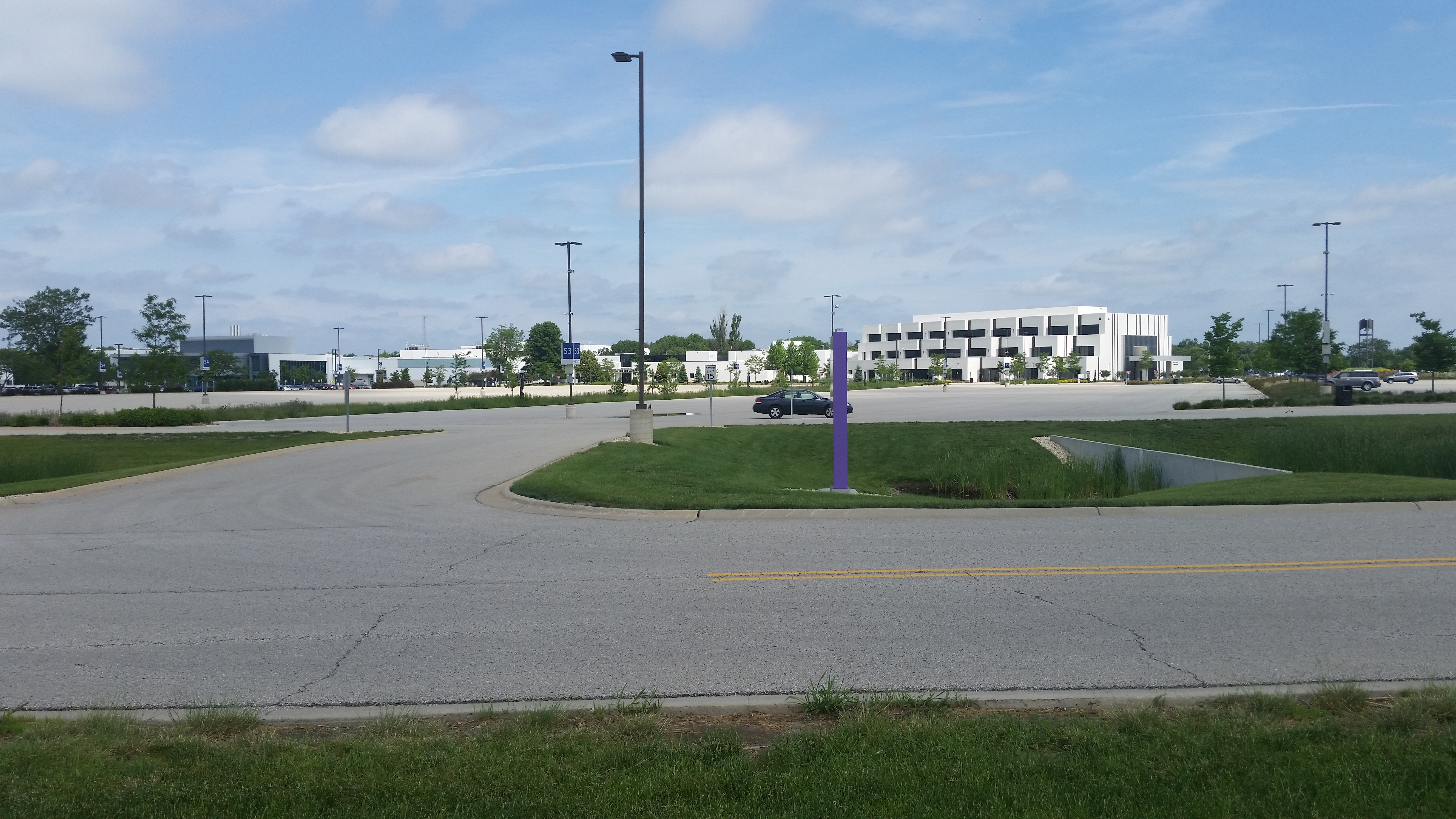
Lesson 2: Exposed Paved Paths are Not Your Friend
Back on the trail, I planned to bypass the leg that went behind Joliet Junior College. Not only would it shave four miles from my hike, going straight down Houbolt Road would get me back under the trees quickly where I could finish the hike.
For some reason, I stayed on the Rock Run Greenway (which isn’t green at this point). By the time I realized my mistake, I could feel my energy level plummet.
The next three miles were brutal. I had no shade and was chugging water at a rate that would leave me empty with miles to go.

It was at this point, I had had enough. I called my wife, who came and retrieved me.
Lesson 3: Use a Live Tracking App
Although I left a map, had a cell phone, and carry a hand-held amateur radio; had I fallen into trouble in a more remote part of the trail (it’s really not a remote trail, but parts are not easily accessible), it would be difficult to find me. Having a live GPS tracking app on my phone would be useful.
I’m going to experiment with different apps to see what works best.
Distance: 9.82 miles. Total time: 3:28. Average Pace: 21:16. Total Climb: 370.
Here is my RunKeeper activity log.

for KC4LMD I made the long contest for CW around the world, was a great satisfaction multi contact
LikeLike
Finishing your water with miles to go is THE WORST. Ah, we live and learn, and it’s great that you posted this so others can learn from your mishaps! When I ran out I bailed too, right up to a road and pandhandled water from a passing motorist. Didn’t care what was in it, lol! No water + brutal sun is legitimately a terrible experience. I’m sorry you had to deal with that, but I kinda don’t feel so bad for skipping the rest of my hike too now. 😛
LikeLike